Mara Keller · 20 September 2026
Maritime Artifacts from Sunken Ships Expose Ancient Commerce Links in Expanding Shoreline Communities
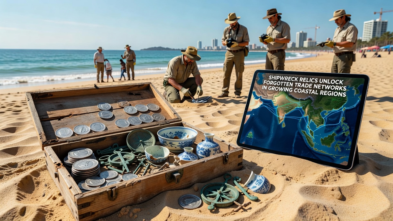
Archaeologists working in several expanding coastal zones have recovered ceramics, coins, and navigation instruments that trace direct connections between distant ports dating back centuries, and these finds coincide with increased construction activity that has exposed previously buried sites. Data compiled by marine heritage teams shows that at least twelve documented wrecks in the past five years yielded goods originating from three or more continents, confirming regular long-distance exchange rather than sporadic contact. Researchers note that rising sea levels and harbor expansions scheduled through September 2026 are accelerating surveys before new infrastructure covers potential locations.
Patterns Emerging from Recent Excavations
One team operating near a rapidly urbanizing harbor recovered amphora fragments stamped with marks from both Mediterranean workshops and Southeast Asian kilns inside the same hull, while coins minted in the Indian subcontinent lay alongside iron tools forged in European foundries. Such combinations inside single vessels demonstrate that merchants maintained multi-leg routes rather than simple bilateral trade, and similar mixed cargoes have appeared at three additional sites along the same stretch of coastline within eighteen months. Observers note that the distribution of these artifacts aligns with historical records of monsoon-driven sailing schedules, yet the physical evidence supplies precise port-to-port linkages that documents alone could not verify.
Impact of Coastal Development on Discoveries
Growing populations in these regions have driven port expansions and residential projects that require dredging and foundation work, activities that frequently intersect with submerged cultural layers. Figures released by regional heritage agencies indicate that development-related surveys account for nearly seventy percent of new wreck identifications since 2023, because mechanical equipment reaches depths previously accessible only to specialized divers. When contractors report anomalies, archaeologists gain rapid access to stratified deposits before sediment is removed or structures are built over them, and this sequence has produced intact cargo assemblages rather than scattered surface finds.
Technological Tools Confirming Trade Routes
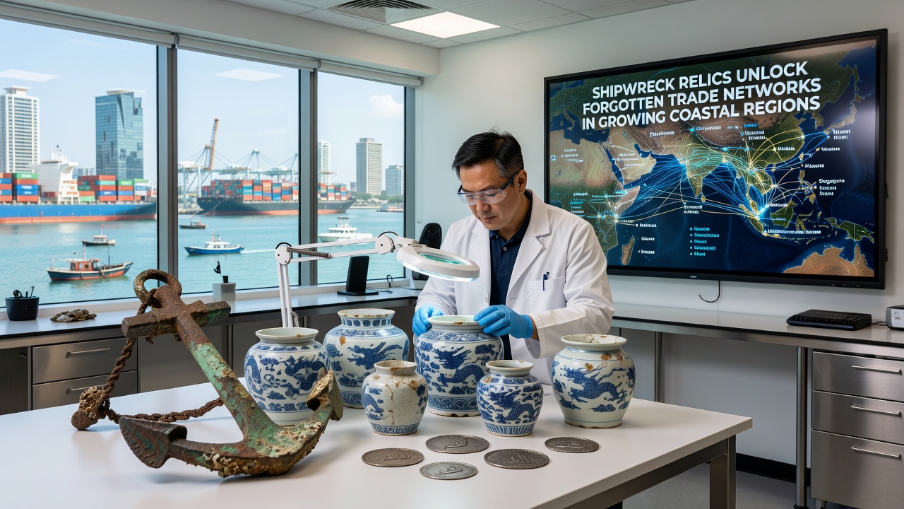
Underwater mapping with multibeam sonar combined with photogrammetry has allowed precise plotting of wreck positions relative to historical anchorage charts, and chemical analysis of lead ballast and glass beads has matched source quarries and workshops across ocean basins. Studies published through university consortia link specific clay compositions to known production centers in East Africa and the Persian Gulf, while isotopic signatures on copper ingots point to mines in the Andes, confirming that vessels carried goods across both Atlantic and Indian Ocean networks in the same era. These analytical results integrate with archival shipping logs to reconstruct seasonal departure and arrival patterns that historians previously treated as speculative.
Preservation Challenges During Growth Periods
Coastal authorities have implemented protocols requiring pre-construction geophysical surveys, yet enforcement varies between jurisdictions and some sites face pressure from informal salvage before official teams arrive. Training programs run by national museums now include modules for construction crews so that operators can recognize diagnostic features such as ballast piles or timber framing, and early reporting has increased the number of in-situ recoveries. Data from monitoring stations shows that sediment disturbance from nearby dredging can accelerate wood degradation within months, which is why September 2026 has been designated as a deadline for completing baseline documentation at three priority locations before scheduled breakwater extensions begin.
Broader Implications for Historical Understanding
The accumulating evidence reframes earlier assumptions that coastal communities functioned mainly as endpoints for overland caravans, because repeated finds of shipboard personal items such as cooking pots and navigational instruments indicate crews maintained continuous maritime circuits. Comparative analysis across multiple wrecks reveals consistent ratios of luxury versus bulk goods, suggesting standardized cargo manifests rather than opportunistic loading, and this pattern holds across vessels spanning four centuries. Government heritage databases now incorporate these datasets into predictive models that flag high-probability zones for future development zones, reducing accidental losses while guiding targeted research.
Conclusion
Continued excavation tied to coastal expansion is expected to yield additional primary source material through the coming years, and integration of artifact data with climate and oceanographic records will further clarify how environmental conditions shaped route viability. Regional agencies continue to coordinate with academic partners to ensure recovered materials receive conservation treatment and public interpretation, preserving the physical record of these previously undocumented exchange systems for ongoing study.