Amir Hoffmann · 4 October 2026
Coastal Homeowners Confront Rising Ocean Levels
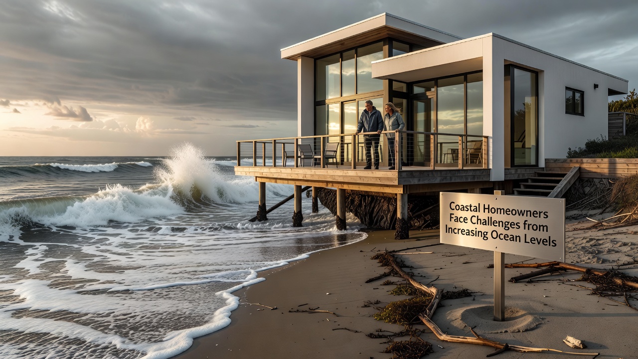
Coastal homeowners around the world face mounting pressures as ocean levels continue their steady climb, driven by thermal expansion and melting land ice according to data from multiple monitoring agencies. Researchers track an average global rise of roughly 3.7 millimeters per year over recent decades, with acceleration noted in many regions since the early 2000s. Property owners in low-lying areas report increased flooding frequency, erosion of beachfront land, and higher insurance premiums that reflect updated risk assessments.
Documented Sea Level Trends
Measurements compiled by government agencies show regional variations that affect different coastlines unevenly. Along the US Atlantic seaboard, rates often exceed the global average due to land subsidence combined with ocean dynamics, while Pacific coasts experience influences from tectonic activity and current patterns. In October 2026, updated satellite altimetry data reinforced projections that many shoreline communities will see an additional 0.3 to 0.6 meters of rise by mid-century under moderate emissions scenarios. These figures come from coordinated efforts that include both ground-based tide gauges and space-based observations.
Experts note that even modest increases translate into more frequent nuisance flooding during king tides and storm surges. Homeowners in places such as parts of Florida, the Netherlands, and Australia's eastern seaboard have documented repeated instances where water enters yards and crawl spaces without major weather events. Adaptation steps range from elevating structures on pilings to installing pump systems, yet costs accumulate quickly for individual properties.
Impacts on Property Values and Insurance
Real estate markets in vulnerable zones reflect these physical changes through adjusted valuations. Studies from academic institutions indicate that homes exposed to chronic inundation risk sell at discounts compared with similar inland properties, while disclosure laws in several jurisdictions require sellers to reveal flood history. Insurance markets respond with higher deductibles and, in some cases, withdrawal of coverage by private carriers, shifting reliance toward government-backed programs.
One analysis of coastal counties in the southeastern United States revealed that repeated flood events correlate with slower appreciation rates and longer days on market for listings. Buyers increasingly factor projected sea level scenarios into purchase decisions, prompting realtors to highlight elevation certificates and flood mitigation features during transactions.
Regional Responses and Engineering Solutions
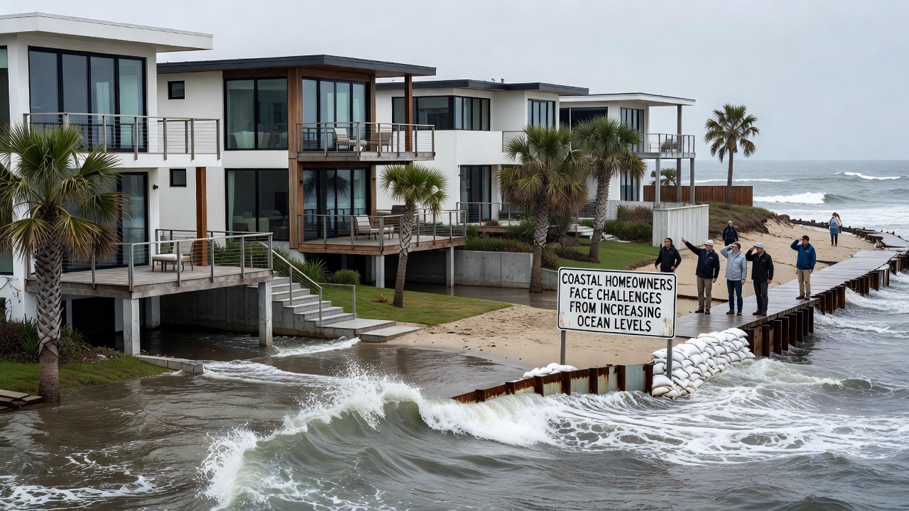
Communities employ varied strategies to manage encroachment. In the Netherlands, centuries-old expertise in dike maintenance and water management continues to evolve with automated monitoring systems that adjust to tidal forecasts. Australian coastal councils have implemented setback requirements for new construction, mandating minimum distances from the current high-water mark based on modeled future shorelines. Canadian provinces along the Atlantic have funded studies that map saltwater intrusion into groundwater supplies, an issue that compounds challenges for homeowners reliant on private wells.
Engineering interventions include beach nourishment projects that import sand to widen buffers, seawall reinforcements, and living shoreline techniques that incorporate vegetation and oyster reefs to dissipate wave energy. Data from the National Oceanic and Atmospheric Administration tracks the performance of these measures across multiple sites, showing that hybrid approaches often outperform hard structures alone in maintaining habitat while protecting infrastructure. Yet maintenance expenses remain ongoing, and some municipalities debate whether to prioritize protection or consider managed retreat for the most exposed parcels.
Policy and Planning Developments
Local governments update zoning ordinances and building codes to incorporate sea level rise projections, requiring new builds to meet elevated finished-floor heights and stronger foundation standards. In October 2026, several jurisdictions released revised hazard maps that expand flood zones inland, affecting thousands of additional properties. These updates draw on combined inputs from climate models, historical tide records, and subsidence measurements.
Property owners participate in public comment periods for these planning documents, while advocacy groups compile case studies of successful retrofits. One program in California pairs homeowners with engineers to assess site-specific vulnerabilities, producing individualized reports that guide permit applications for elevation or relocation. Similar initiatives appear in European coastal regions where EU-funded projects emphasize nature-based solutions alongside traditional defenses.
Conclusion
Coastal homeowners continue to adapt as ocean levels rise through a combination of personal investments, community planning, and policy adjustments. Data from agencies such as Australia's Bureau of Meteorology and international research bodies document the physical drivers and regional differences that shape these experiences. Ongoing monitoring and flexible response strategies remain central to managing the evolving interface between land and sea.